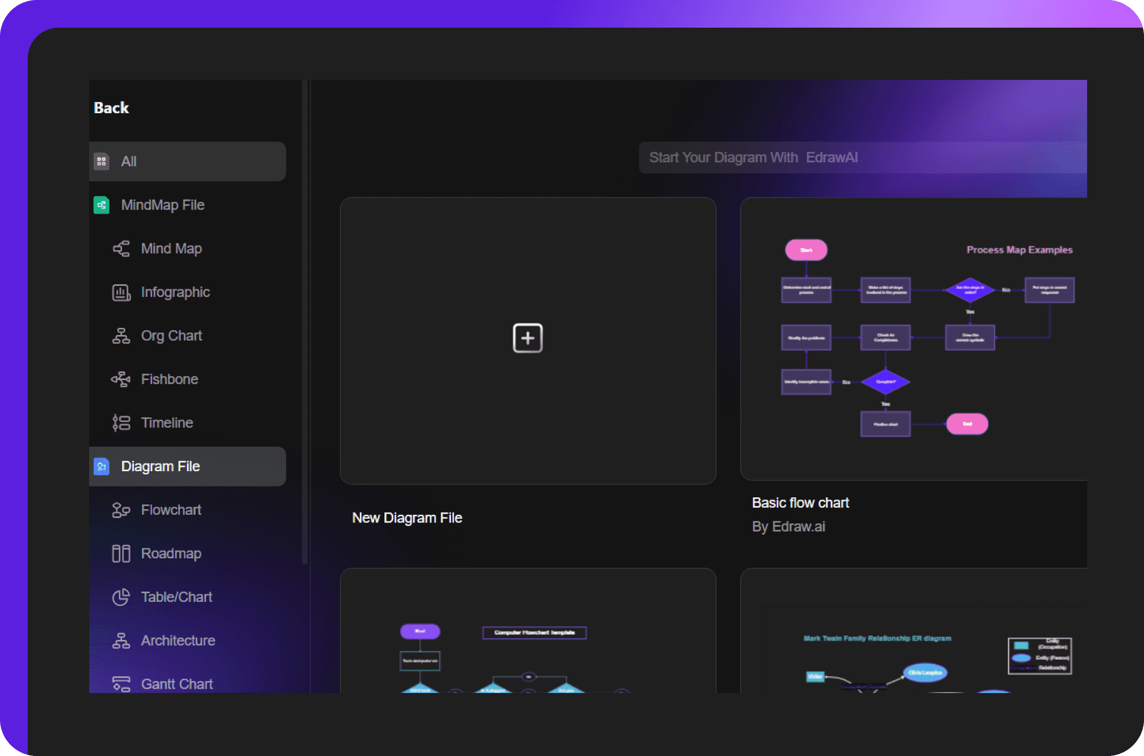
Free location map maker online
Build accurate maps in minutes with Edraw.AI, a beginner-friendly location map maker app. Design personalized maps with ready-to-edit templates and visual cues for free.
Your go-to solution for custom location maps
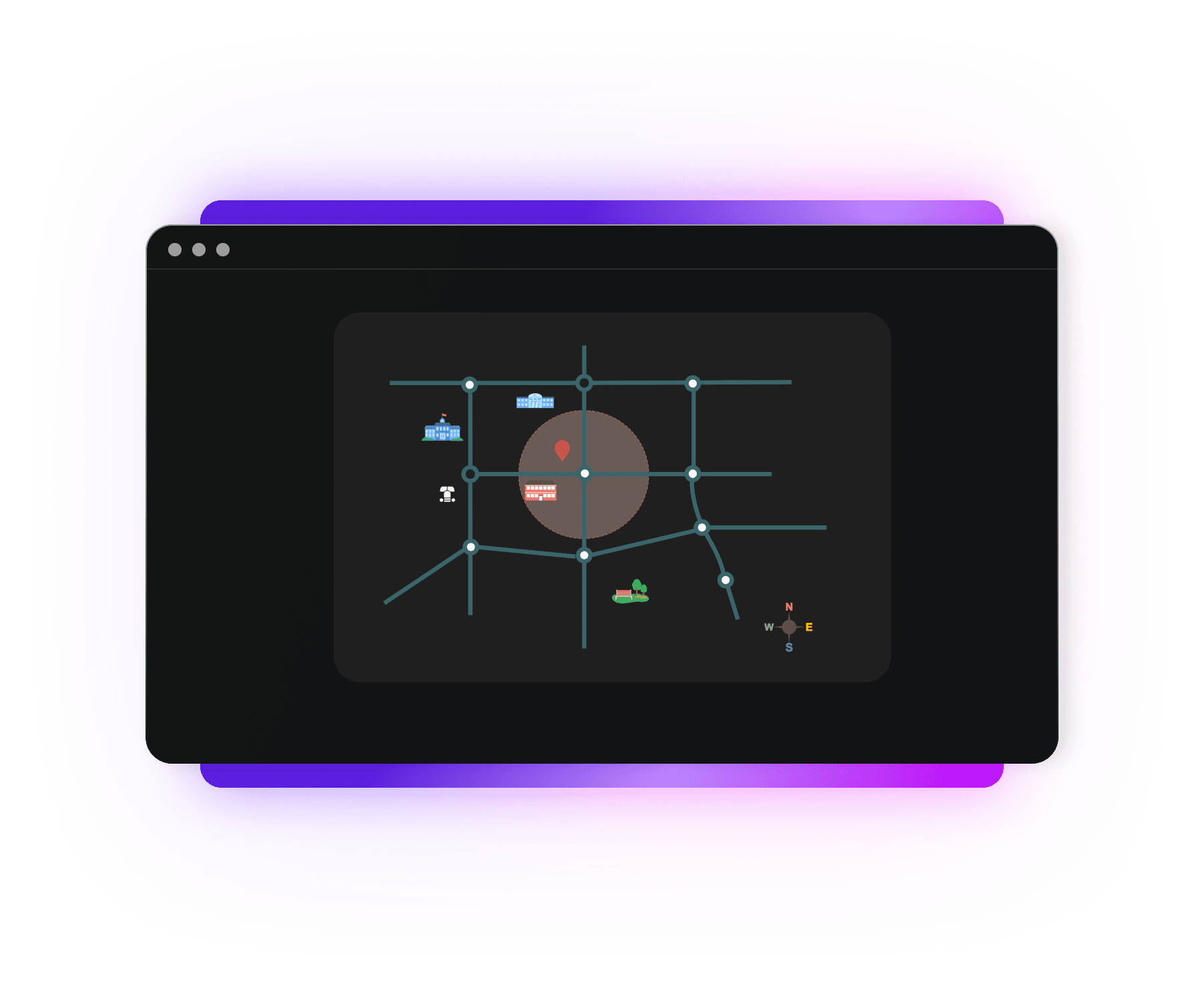
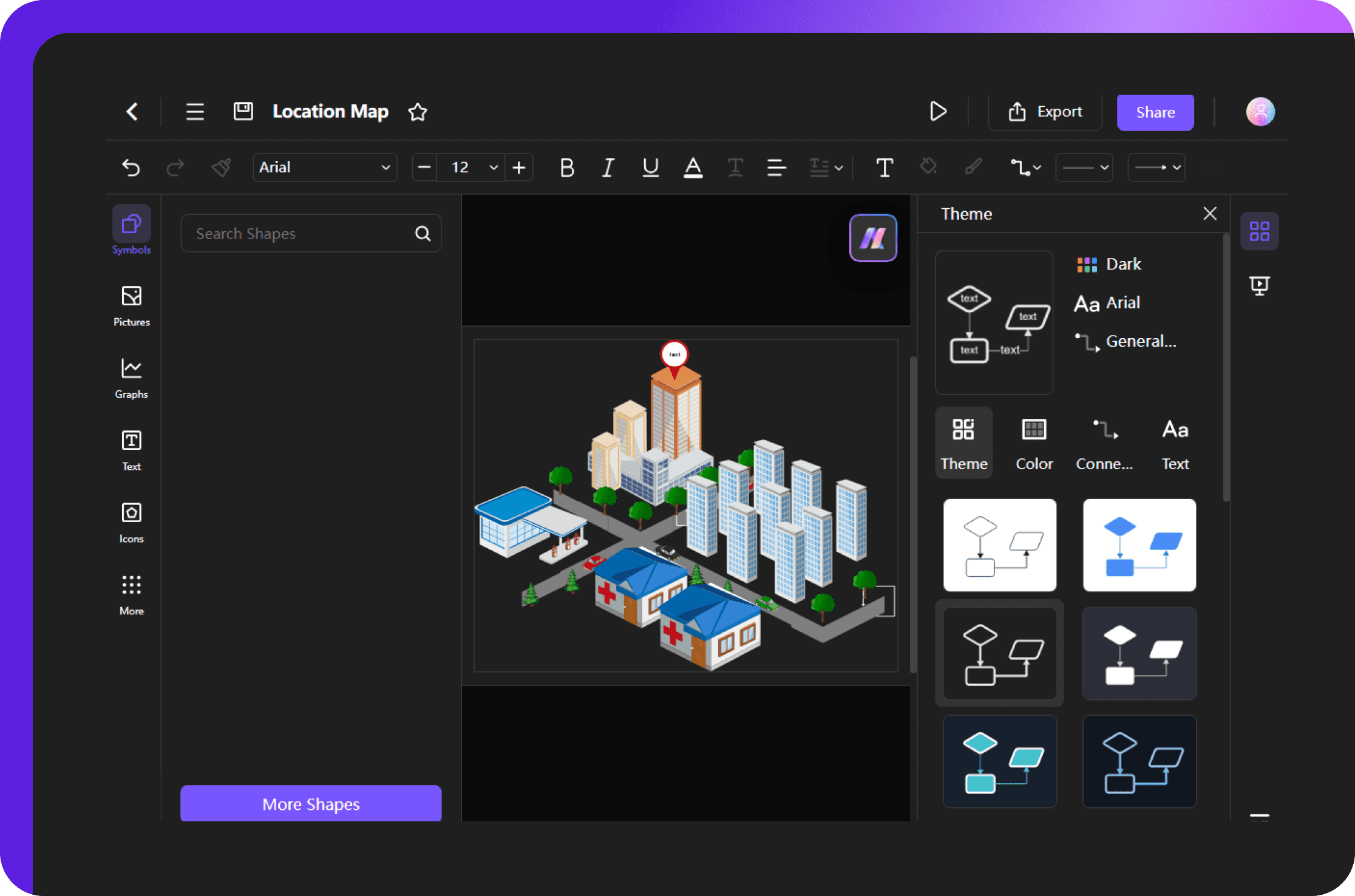
Flexible customization options
Edraw.AI makes it easy to customize your maps. You can use the simple drag-and-drop feature to change the size, shape, and position of elements like symbols and icons. Create beautiful and user-friendly maps that fit your needs, no matter your skill level.
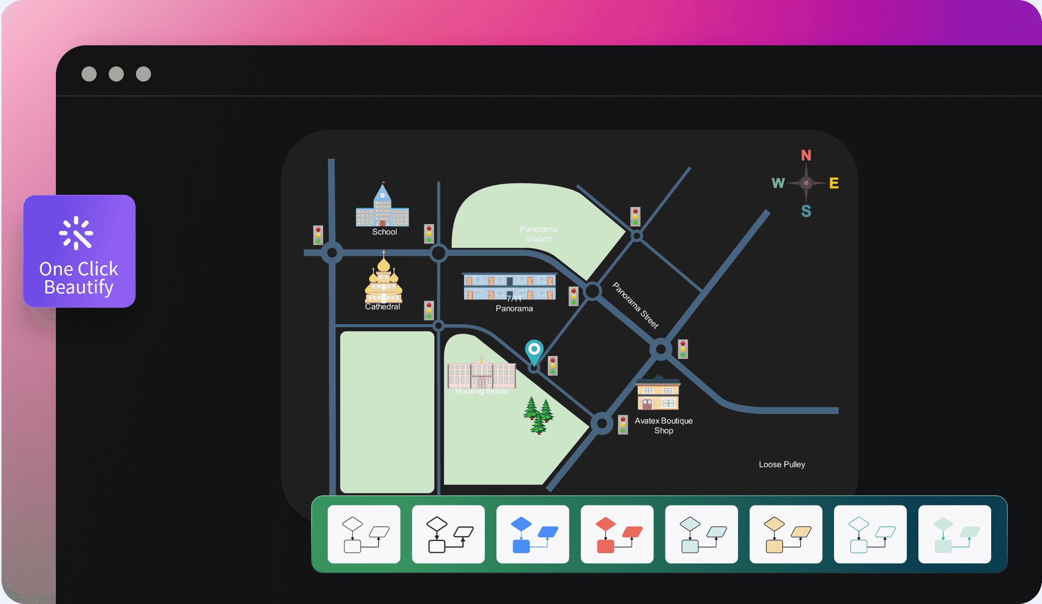
Thousands of illustrations and icons
Make your location maps stand out with visual cues from Edraw.AI’s picture and icon libraries. Choose from signs like transportation, landmarks, etc, or insert real-life images. Make your maps more informative and help users quickly identify key locations.
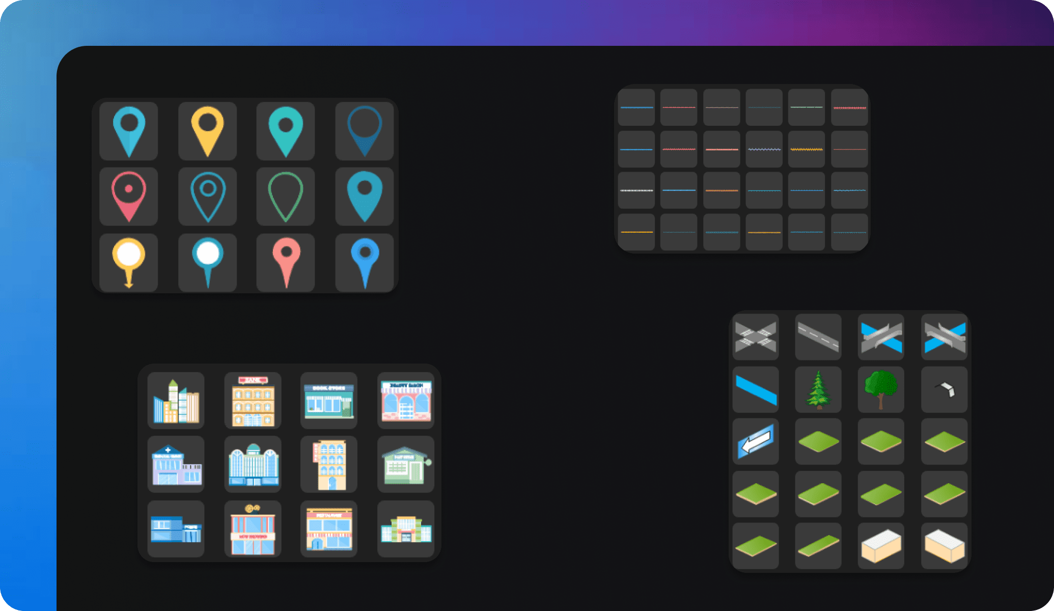
Extensive symbols collection
If you're an urban planner outlining city infrastructure or a business owner mapping store locations, Edraw.AI has you covered. It has a vast collection of resizable map symbols, from buildings to transportation, and natural features. Use them to depict accurate locations.
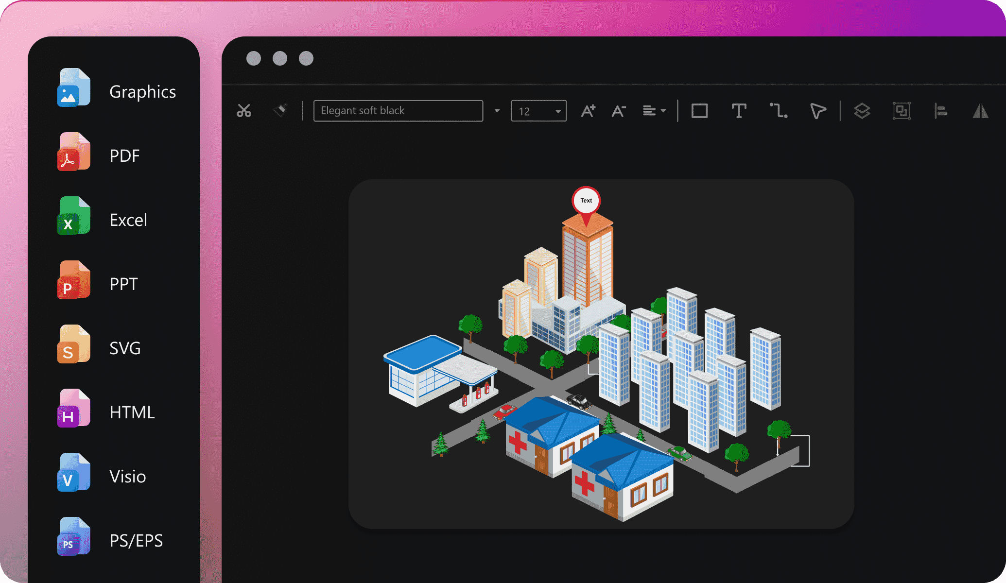
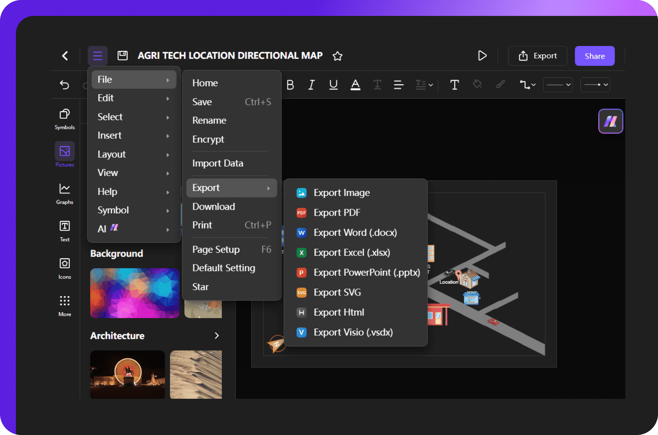
Multiple export options
When your map is complete, Edraw.AI allows you to easily share it with your audience. Export your maps in formats such as PDF, HTML, DOCS, SVG, and more. You can also share, print, or embed your diagrams in emails and reports to make it accessible to a wider audience.
Ideal tool for collaboration

Efficiency Boost
With multi-device support and access on the cloud, team members can access and edit files anytime, reducing repetitive tasks and significantly improving efficiency.

All-in-one Solution
Edraw.AI supports over 210 drawing types, from mind maps to flowcharts. This extensive range allows teams to create diverse visual content within a single platform.

Enhanced Communication
Visual diagrams simplify complex ideas, improving communication within teams and with external partners, making discussions and decision-making more efficient and clear.

Seamless Collaboration
It allows team members to co-edit and share diagrams in real-time, ensuring smooth workflow without the need for constant tool switching or delays.
How to create a location map using Edraw.AI?
FAQs about the Location Map Maker
-
What is a location map?A location map is a visual tool that shows the specific position of a place or area. It helps people navigate, find directions, and identify key landmarks or routes for easier understanding.
-
Can I use real-life images in my location maps?Yes, you can. Edraw.AI lets you insert real-life images along with icons from its extensive libraries. This makes your maps more engaging and informative.
-
What types of symbols are available in the location map maker?Edraw.AI offers many symbols, including transportation signs, landmarks, and buildings. Plus, they are resizable to match your map layout. Access them from the left-side library and drag them to the canvas.
-
Is it possible to export the location maps in a PDF?Definitely! Edraw.AI supports formats like PDF, PNG, SVG, and more. You can also share, print, or embed your maps easily.
-
Is Edraw.AI a free online location map maker?Of course, Edraw.AI offers essential features in the free version to create maps. You can also access premium features for advanced customization and export options with a subscription. You can find out more about paid versions on our pricing page.
-
Can I use Edraw.AI’s location map maker on mobile devices?Yes, you can. Edraw.AI is available online, so you can create maps on your mobile devices as long as it has an active internet connection.
-
Do I need design experience to use Edraw.AI?Not at all. Edraw.AI is a beginner-friendly platform with a drag-and-drop intuitive interface. Newcomers can get started easily with its ready-made templates.
-
What other types of maps can I create with Edraw.AI?You can create various maps, including fantasy maps and city planning maps. Edraw.AI has many symbols and icons to help.
-
How can I work with my team on Edraw.AI?Edraw.AI supports a collaborative workspace. It allows sharing your work with teams and co-editing in real time. You can also present your maps directly from the canvas.